
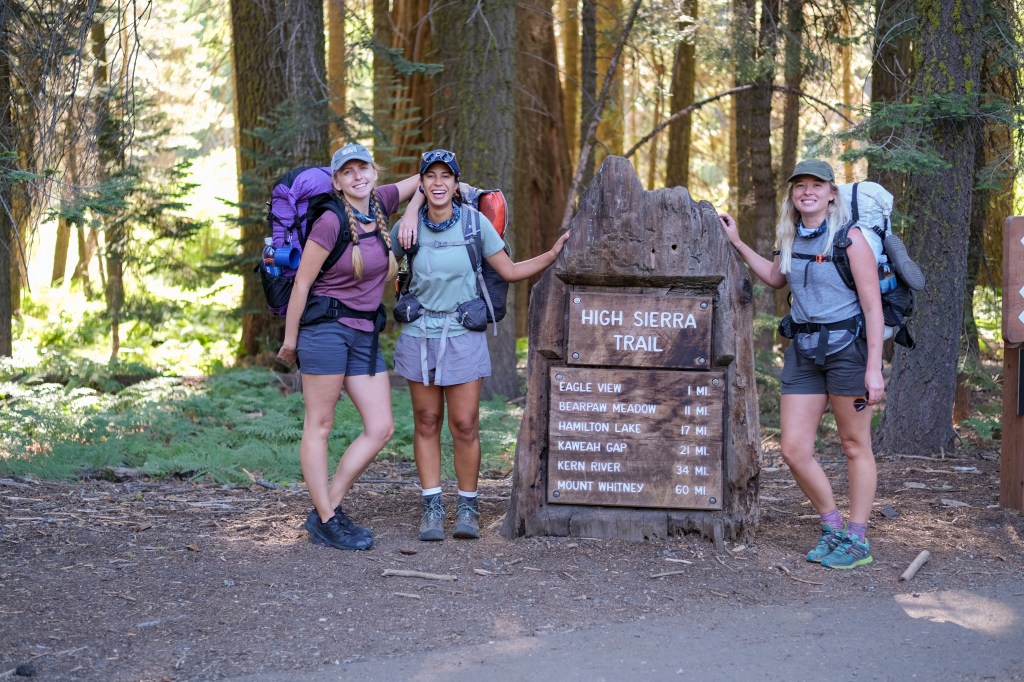
In this blog post, you’ll find a random assortment of tips and tricks that we learned from hiking the High Sierra Trail in August 2021.
TRANSPORTATION
When you hike a long trail, you get to know your trail-mates pretty well. You swap information about campsites and water carries. You offer up medication or gear when something in your bag (or stomach) has failed you. You commiserate together during the death climb up from Hamilton to Precipice. It is just what you do.
But by far, the most common question swapped on the High Sierra Trail is, “how are you getting back to your car at Crescent Meadow?” Very fortunately for us, we didn’t have one. We were so lucky to have two of the most wonderful trail angels, my mom and her best friend (nicknamed: “The Moms”) drop us off at Crescent Meadow, take their own vacation up to Lake Tahoe and Mammoth, and then pick us up from Whitney Portal. If you can swing something like this, DO. But if you can’t, check out this post all about getting to and from the High Sierra Trail.
DIRECTION
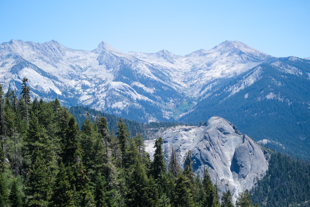
We chose to hike the High Sierra Trail from West to East, starting at Crescent Meadow and ending at Whitney Portal. This is definitely the most popular way to hike the trail – it allows you to start at a lower elevation and work your way up to the grand finale – Mt. Whitney!
If you do choose to hike the trail from East to West, keep in mind that you will have to get a Mt. Whitney overnight permit in order to enter the Whitney zone on your first day. Since this is given out through a lottery, I would think your chances of getting the permit you would want would be a bit slimmer. In addition, remember that the slog up from Whitney Portal to Trail Crest is about 5500 feet in elevation gain – and on your first day, you’ll be doing it with all of the food that you’ve packed for the whole trip.
WALK-UP PERMITS
We began our hike on Monday, August 2nd, and when we arrived at the permit office, there were still 9 walk-up permits that were available for the High Sierra Trail to start the trail that very day. I asked the ranger about this, and she said that if it were a weekend, it would be a totally different story, but for the most part, you can always get same-day walk-up permits for the High Sierra Trail on weekdays during the summer. Not going to lie – I was pretty surprised!
I’ve heard similar stories – of hikers arriving at the permit office to pick up their permit for the next day and grabbing a walk-up permit for the same day to start their hike with a short three-miler that night to get ahead. Obviously, there are no guarantees that walk-up permits will be available though, so always come with a Plan B in the event that your desired start date is not available.
RESUPPLY
Unlike other long-distance trails, where there are places that you can easily pick-up food and “resupply” your provisions, this is not an option on the High Sierra Trail. Since the HST runs from west to east in lieu of a road, there are no places for you to mail yourself any food or supplies. Please keep this in mind as you decide how many days your hike will be – each additional day will require an additional day of food. Aim to bring calorie-dense, high-protein foods that weigh the least amount possible.
BEAR BINS
Uniquely, many of the popular campsites along the High Sierra Trail have bear boxes for you to store your food – so many, in fact, that with a bit of planning, you could actually forgo bringing a bear canister on your trip! We used the bear boxes at Bearpaw out of necessity and the bear boxes at Junction Meadow out of convenience.
For a complete list of bear boxes in Sequoia & Kings Canyon National Parks, visit here.
Pertinent bear box locations along the High Sierra Trail include:
Mehrten Creek
Nine Mile Creek
Buck Creek
Bearpaw Meadow
Hamilton Lake
Big Arroyo Crossing
Moraine Lake
Upper and Lower Funston Meadows
Kern Hot Spring
Lower Junction Meadow
Junction Meadow
Wallace Creek
Crabtree Ranger Station
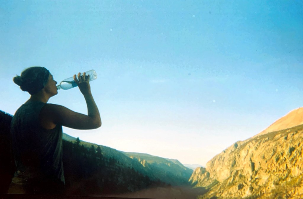
WATER CARRIES
For the most part, you really don’t have to deal with long water carries along the High Sierra Trail, even during low-water years. Pretty much all of the creeks and lakes that you pass are large enough that they are incredibly unlikely to dry up. That being said, there are a few longer water carries that you should be aware of:
Buck Creek – Hamilton Creek: From Buck Creek to Hamilton Creek (about a mile before Upper Hamilton Lake), the only water sources are unreliable seasonal streams – with the exception of the water faucet at the Bearpaw Meadow backpackers campground. Keep in mind that if you are planning on filling up at Bearpaw Meadow, be sure that you have a way to filter it! We brought an MSR Water Pump Filter that required you collect the water in some sort of vessel to pump it – and we didn’t have any sort of vessel to do that. We ended up filling up at Buck Creek with 10L and then carrying until Hamilton Creek. It ended up fine but we were definitely conserving water as we neared Hamilton Creek!
Big Arroyo – Funston Creek: We knew that we were in for a longer water carry from Big Arroyo to Moraine Lake (we filled up to almost-full capacity at a seasonal stream probably a half mile after the turnoff to Big Arroyo), but on our way up out of Big Arroyo, we ran into a ranger based out of the Little Five Lakes area who told us that he won’t even cook with the water out of Moraine – he thinks it is that gross. He mentioned how there is no inlet or outlet to the lake, and that while it is great for swimming, it is filled with sunscreen, deet, and “all of the ibuprofen that runs right through people.” Fun! He suggested that we fill up at the creek right after the Moraine Lake trail junction (I think it might be an offshoot of Chagoopa, but not entirely sure about the name), but unfortunately it had completely dried up. While we filled up to almost-full capacity around Big Arroyo, it wasn’t enough to sustain us all the way until Funston Creek, so we ended up filling up a few liters with the Moraine Lake water. It tasted fine and it didn’t make us sick or anything, but we dealt with MASSIVE water filter issues afterwards – our filter pretty much didn’t work after this – and part of me thinks it was because it was working in overdrive to treat the water at Moraine Lake. The next time that we found a reliable water source was about halfway down the descent to the Kern River at Funston Creek. Keep in mind that this is only for people who do the Moraine Lake side trip – I’m not sure what Chagoopa looks like along the actual High Sierra Trail.
Guitar Lake – 99 Switchbacks: From Guitar Lake to the 99 Switchbacks (or lower depending on how comfortable you feel with the water quality), there are very little water sources, all of which are seasonal and unreliable. We had been told that there were a few small tarns above Guitar Lake (and had thought about camping at one of them before our Whitney summit), but when talking to some people who actually camped at them, they said that they didn’t feel comfortable consuming that water and ended up walking back to Guitar Lake to pump and fill. From then, your first water source coming down the front side of Whitney is a seasonal stream that runs through the 99 Switchbacks. Personally, I’m not sure if I would filter from it unless I was in a super dire situation, but it was strong enough that you could filter if necessary. I would probably wait until Trailside Meadow, which is even further past Trail Camp – as it comes from Consultation Lake, which seems a LOT cleaner than the water at Trail Camp.
2020 KERN CANYON BURN ZONE
In September and October 2020, the Rattlesnake Fire spread throughout Kern Canyon and torched about four-ish miles of the High Sierra Trail. This will affect your hike in a few ways. First, the burn zone on trail begins almost immediately after you leave Kern Hot Springs. This is an extremely active burn zone – meaning that it would not be safe in the slightest to camp in. We hiked through this zone on a breezy day (but definitely not “windy”) and we heard multiple trees/branches falling – one of which was super close to us! Once you leave Kern Hot Springs, be prepared to make it at least another five miles to camp in order to be safely out of the burn zone. Second, be prepared for the exposure that comes with burn zones – without any tree coverage it was HOT in that canyon! Fortunately, the trail follows the river pretty much the whole way to Junction Meadow, so you are able to cool off if necessary, but man, it would have been so much nicer with a little shade from the trees!

GPS DEVICE
I typically do not hike with any sort of SOS or GPS device (although I really should), but we had one for our High Sierra Trail thruhike. Other than for the obvious reason to keep you safe in case of an emergency, I really loved having a GPS device with us! By far, the most useful part of it was checking on water sources – seeing how far we were to the next creek or drainage or using the GPS to see if we were actually at the creek that we thought we were. We also used it to send our location to our family every night as our check-in, to measure how far we were to camp on especially long days (looking at you, Moraine Lake to Junction Meadow), and to check the weather a few days before we summited Whitney. We also had text capabilities, which made me feel really secure just in case we started seeing signs of a fire (it was summer in the High Sierra after all!). Additionally, we lost the trail once before Moraine Lake, and we were able to see exactly where we were in correlation to the trail and were able to get back on trail very quickly. Overall, it just made me feel really secure – and I really enjoyed that feeling! I’ll definitely be looking into getting a device for myself here soon.
Read more:
Day 1 of the HST: Crescent Meadow to Bearpaw Meadow
Day 2 of the HST: Bearpaw Meadow to Precipice Lake
Day 3 of the HST: Precipice Lake to Moraine Lake
Day 4 of the HST: Moraine Lake to Junction Meadow
Day 5 of the HST: Junction Meadow to Crabtree Ranger Station
Day 6 of the HST: Crabtree Ranger Station to Guitar Lake
Day 7 of the HST: Guitar Lake – Whitney Portal
Planning the HST:
Your Quick and Dirty Guide to the High Sierra Trail
My Complete Packing List for the High Sierra Trail
Tips and Tricks for the High Sierra Trail
Getting To and From the High Sierra Trail
The High Sierra Trail on Film

Pingback: Day 1 of the High Sierra Trail: Crescent Meadow to Bearpaw Meadow – MEG HIKES
Pingback: Getting To and From the High Sierra Trail – MEG HIKES
Pingback: Day 2 of the High Sierra Trail: Bearpaw Meadow to Precipice Lake – MEG HIKES
Pingback: Day 3 of the High Sierra Trail: Precipice Lake to Moraine Lake – MEG HIKES
Pingback: The High Sierra Trail on Film – MEG HIKES
Pingback: Day 4 of the High Sierra Trail: Moraine Lake to Junction Meadow – MEG HIKES
Pingback: Day 5 of the High Sierra Trail: Junction Meadow to Crabtree Meadow – MEG HIKES
Pingback: Day 6 of the High Sierra Trail: Crabtree Meadow to Guitar Lake – MEG HIKES
Pingback: Day 7 of the HST: Guitar Lake – Whitney Portal – MEG HIKES
Pingback: Your Quick and Dirty Guide to Hiking the High Sierra Trail – MEG HIKES
Pingback: My Complete Packing List for the High Sierra Trail – MEG HIKES