DAY STATS:
Date: Wednesday, August 4, 2021
Mileage: 11.7 miles
After yesterday’s torturous midday climb, we decided to get up and out as early as possible. Our alarm went off at 5:20am, but I think I had already been up for about twenty minutes deciding whether I should get up to pee or not. The alarm made that decision for me.
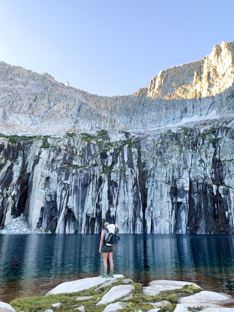
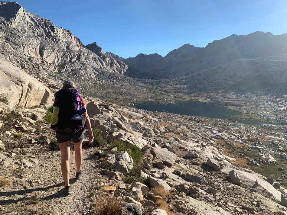
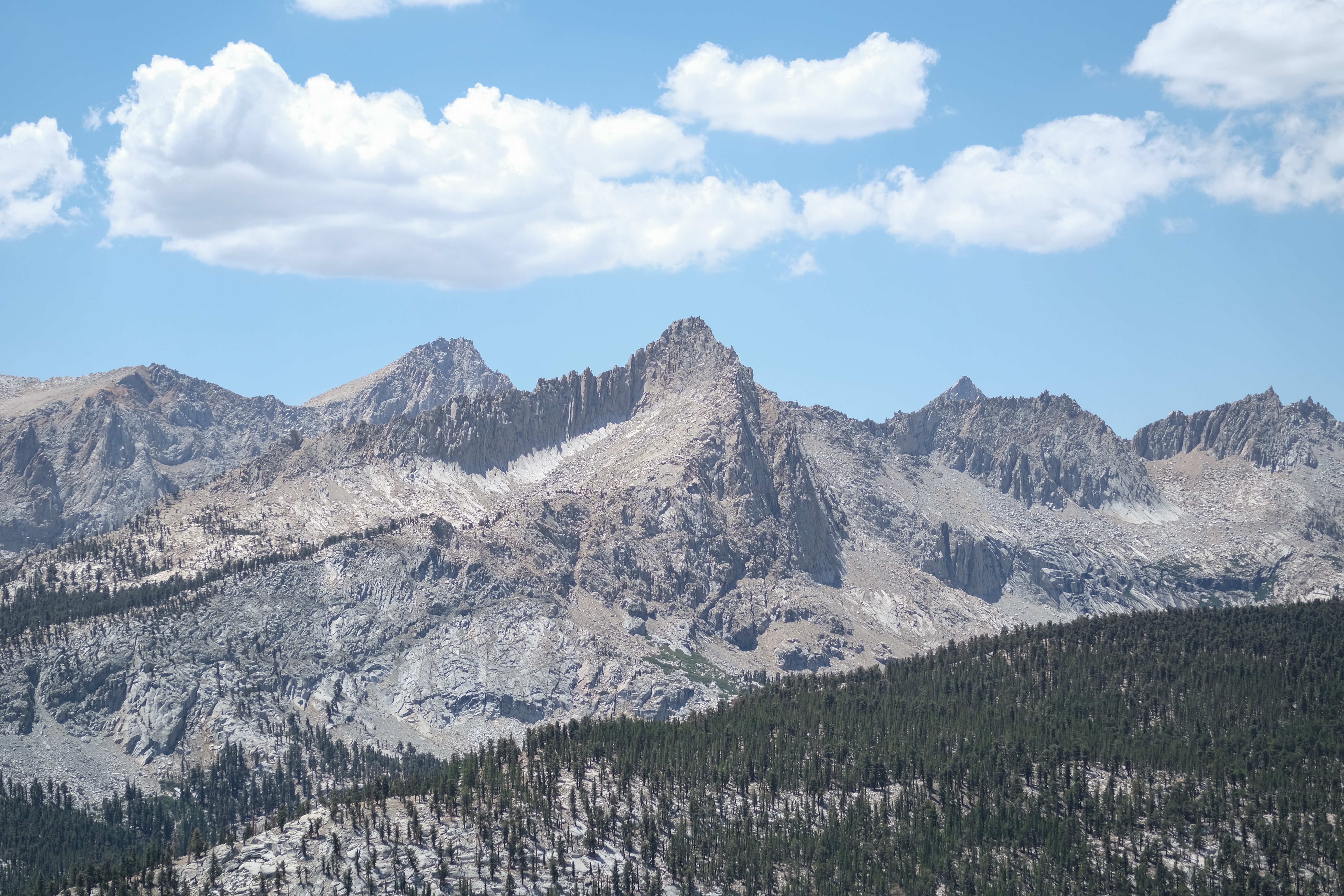
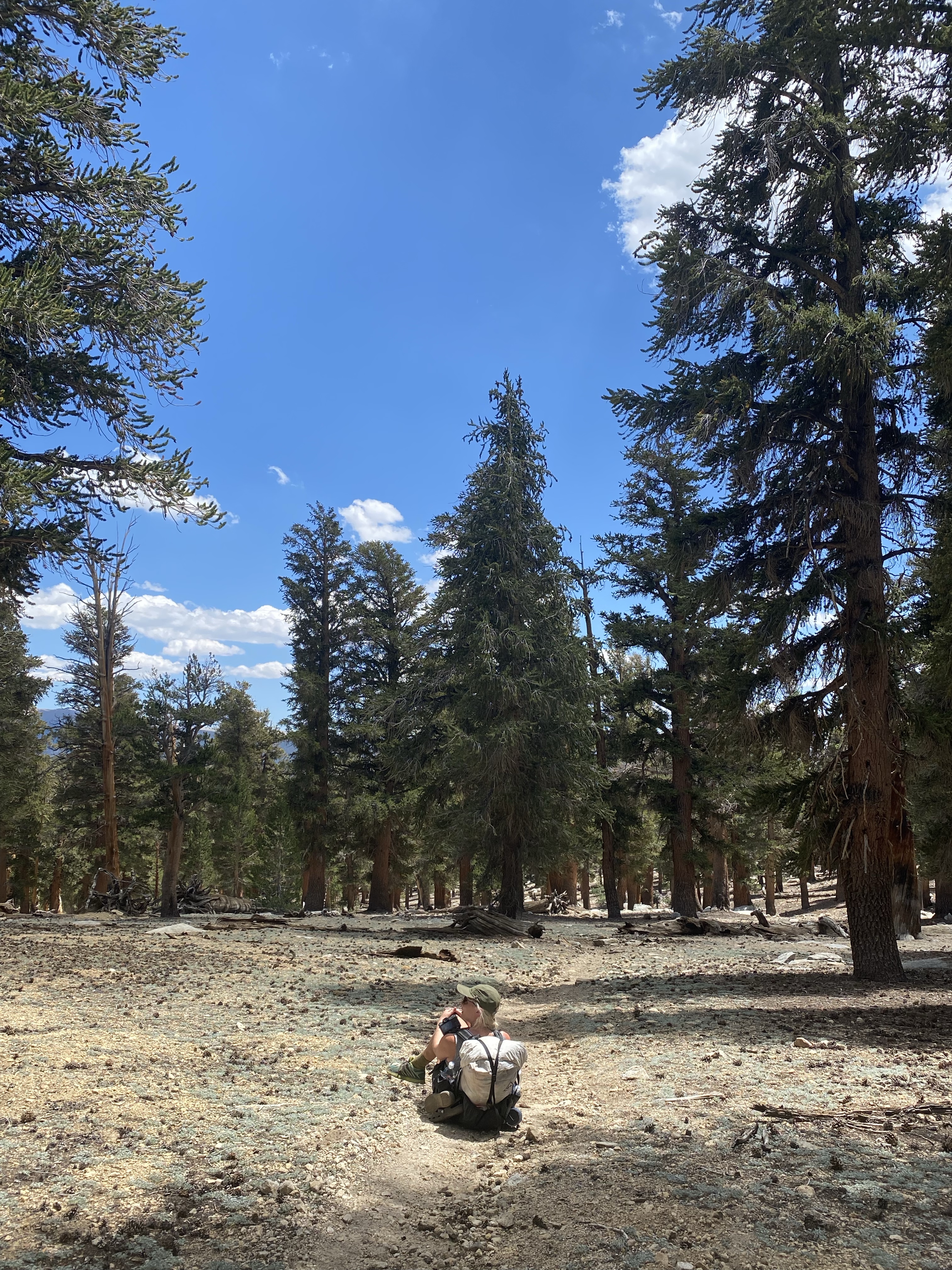
We had a nice morning under the shadow of the Precipice walls and were on our way by 7am. The trail took us up the last 200 feet or so before hitting the Kaweah Gap, past huge boulders and unnamed lakes, and before long, we were cresting over the pass and on top of the Gap; the Kaweahs to one side at the Great Western Divide to the other.

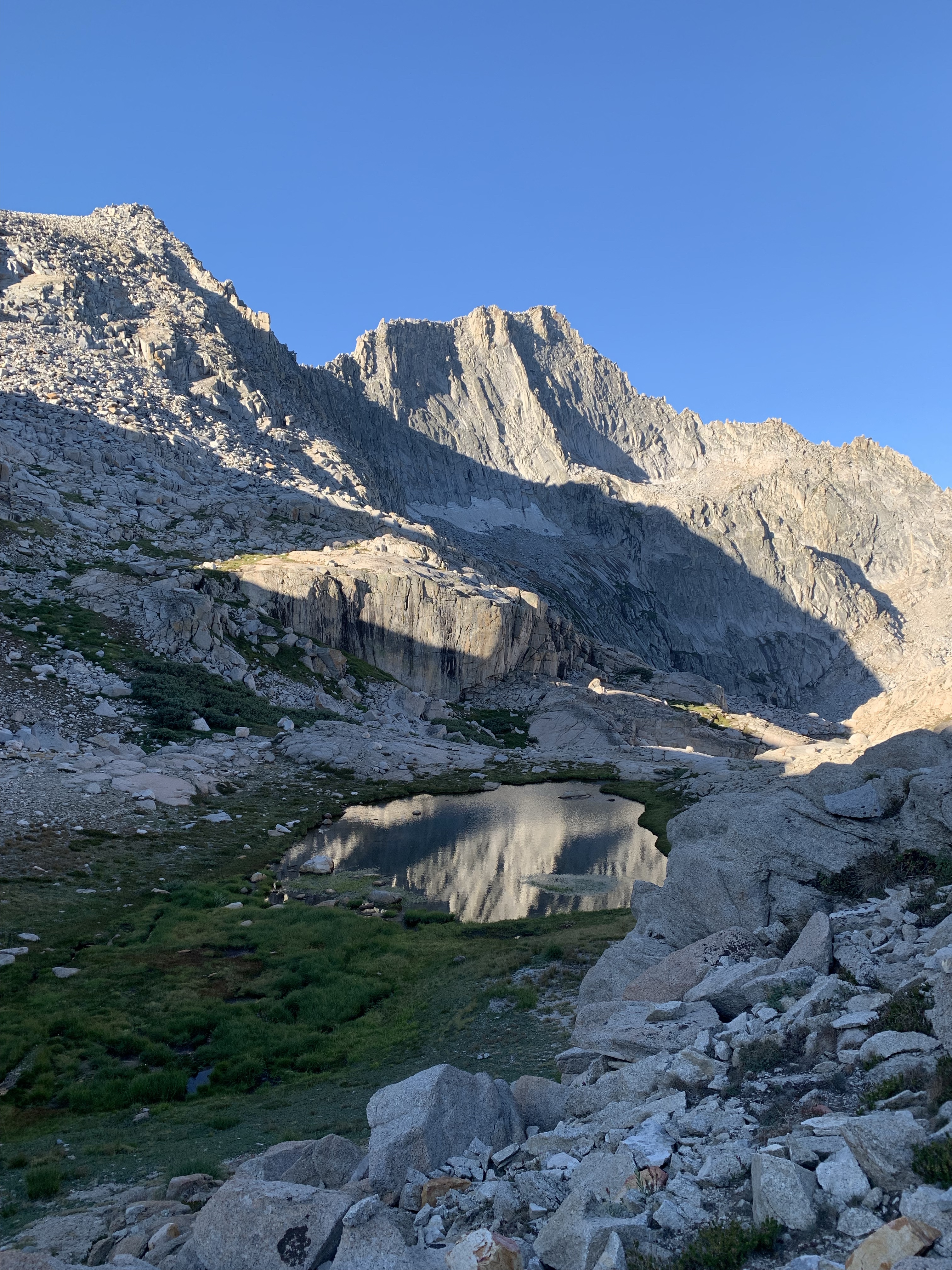
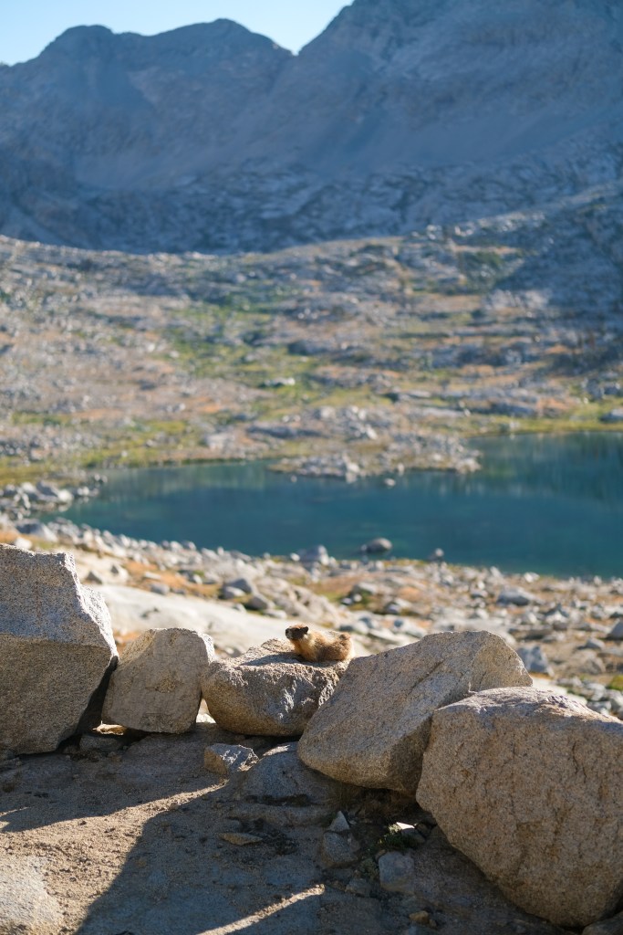
We descended into the gap, enjoying the shade from the shadows of the Kaweahs. The landscape reminded me a lot of parts of the John Muir Trail – barren grassland with lots of creeks and small trees and marmots… like after you come down from Forrester! We saw about five marmots coming down. It was also the first day that we had any cloud coverage at all, which kept the temperature down. It was so nice after yesterday’s heatfest. It almost felt like a perfect fall day, but that could also be because of my sepia-toned glasses.

We had a long descent down to Arroyo Creek, and then about a thousand foot incline back up. AllTrails said it was exposed, but after yesterday’s actual exposed climb, it felt like a piece of cake. It was gradual, relatively shady, and the breeze and clouds kept the temperature nice.
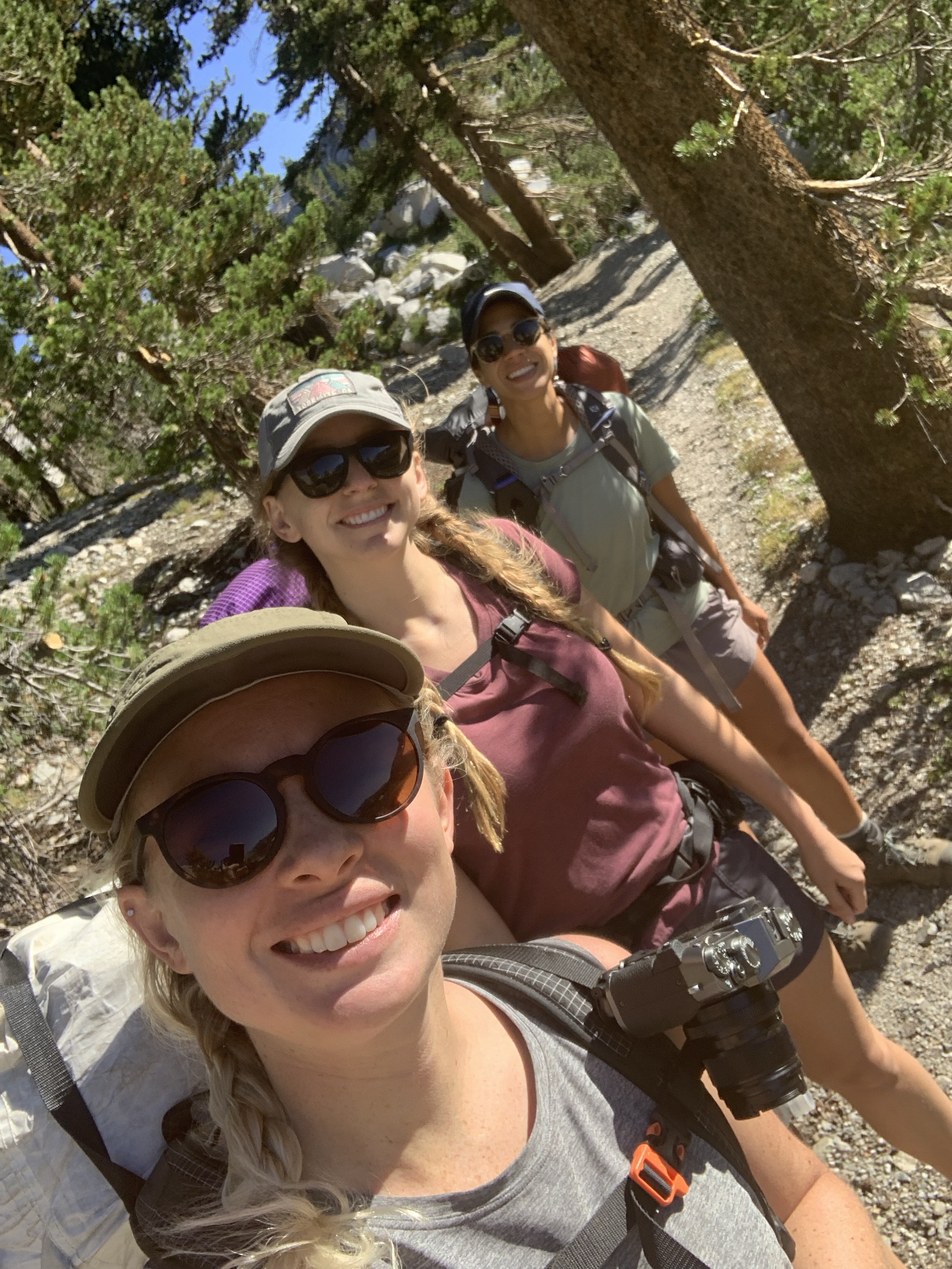
We barely saw anyone all day. I think all of the two/three-day hikers end at Precipice, so now, you really only run into HSTers or other hikers on long loops throughout the park.

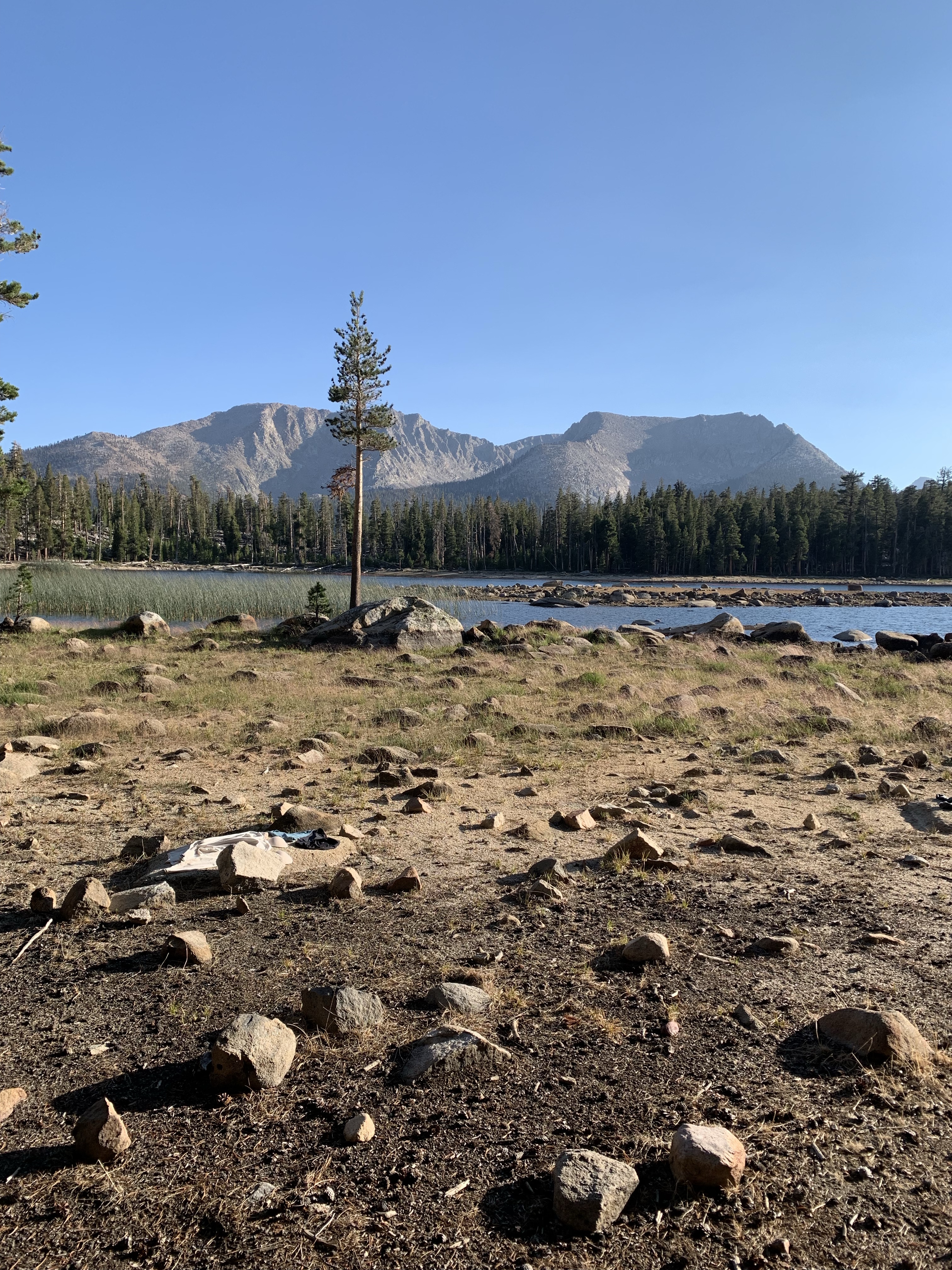
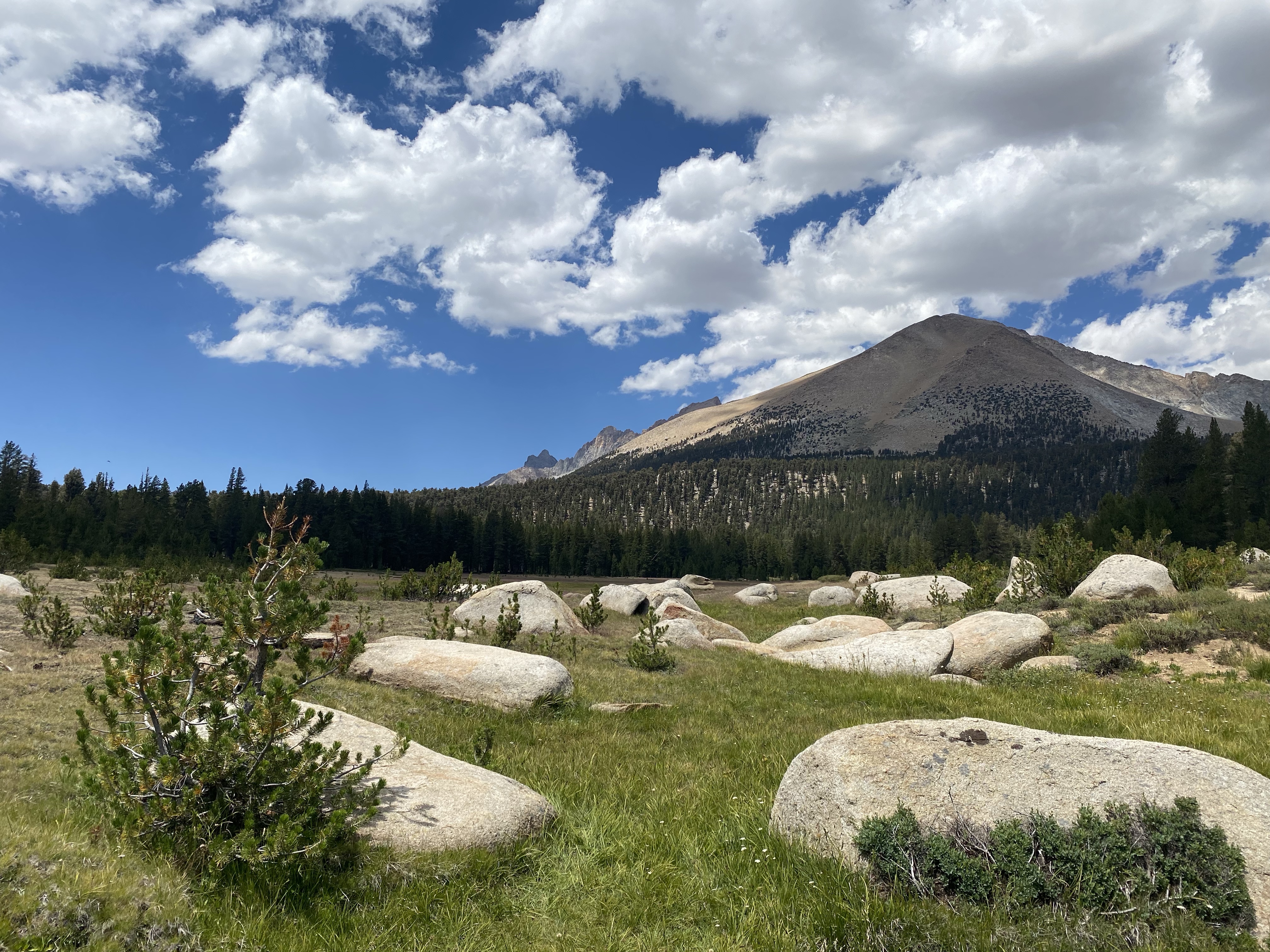
The end of the incline showed a lake on the map and on our GPS, but AllTrails told us there hadn’t been a lake there for years. We decided before we saw it that we were going to have lunch at Not a Lake Lake, and we entertained lots of ideas at what Not a Lake Lake actually looked like. When we finally crested over the incline, we finally confirmed that it was indeed Not a Lake.
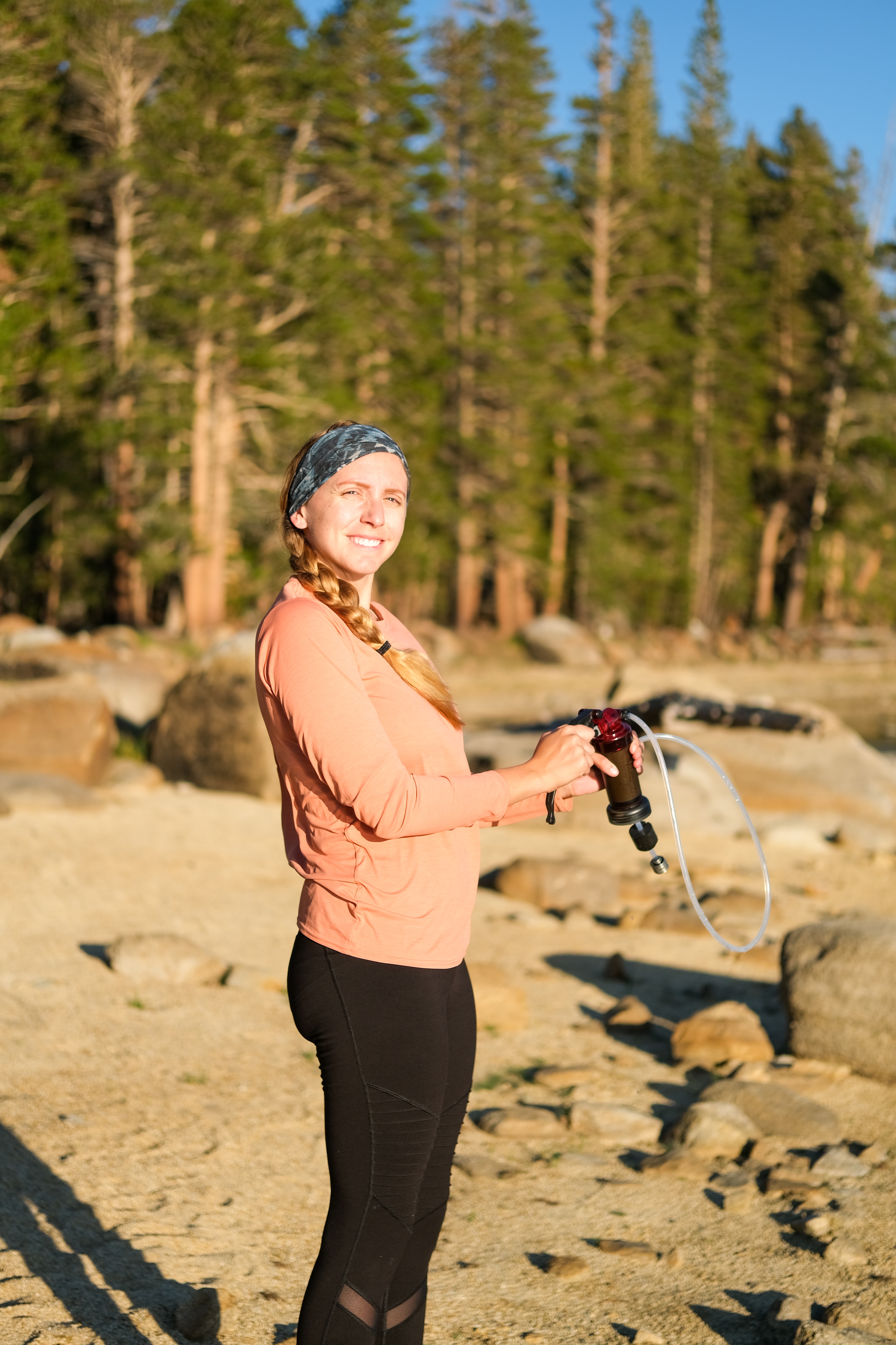
As we had lunch at Not a Lake, a ranger stationed out of the Little Five Lakes area came up the trail and sat down with us for awhile. When we asked him how Little Five Lakes were, he said it was “the best,” so now that area is officially on all of our lists. When we told him we were camping at Moraine Lake, he told us that he won’t even cook with the water out of Moraine – he thinks it is that gross. He mentioned how there is no inlet or outlet to the lake, and that while it is great for swimming, it is filled with sunscreen, deet, and “all of the ibuprofen that runs right through people.” He gave us directions to fill up at a creek right after the Moraine Lake side-trail (but still on the HST – making you backtrack maybe .1 miles back to the side-trail when you were ready to hike again). We eventually bid our ranger friend goodbye and promised him that we’d check out his home turf of Little Five Lakes.
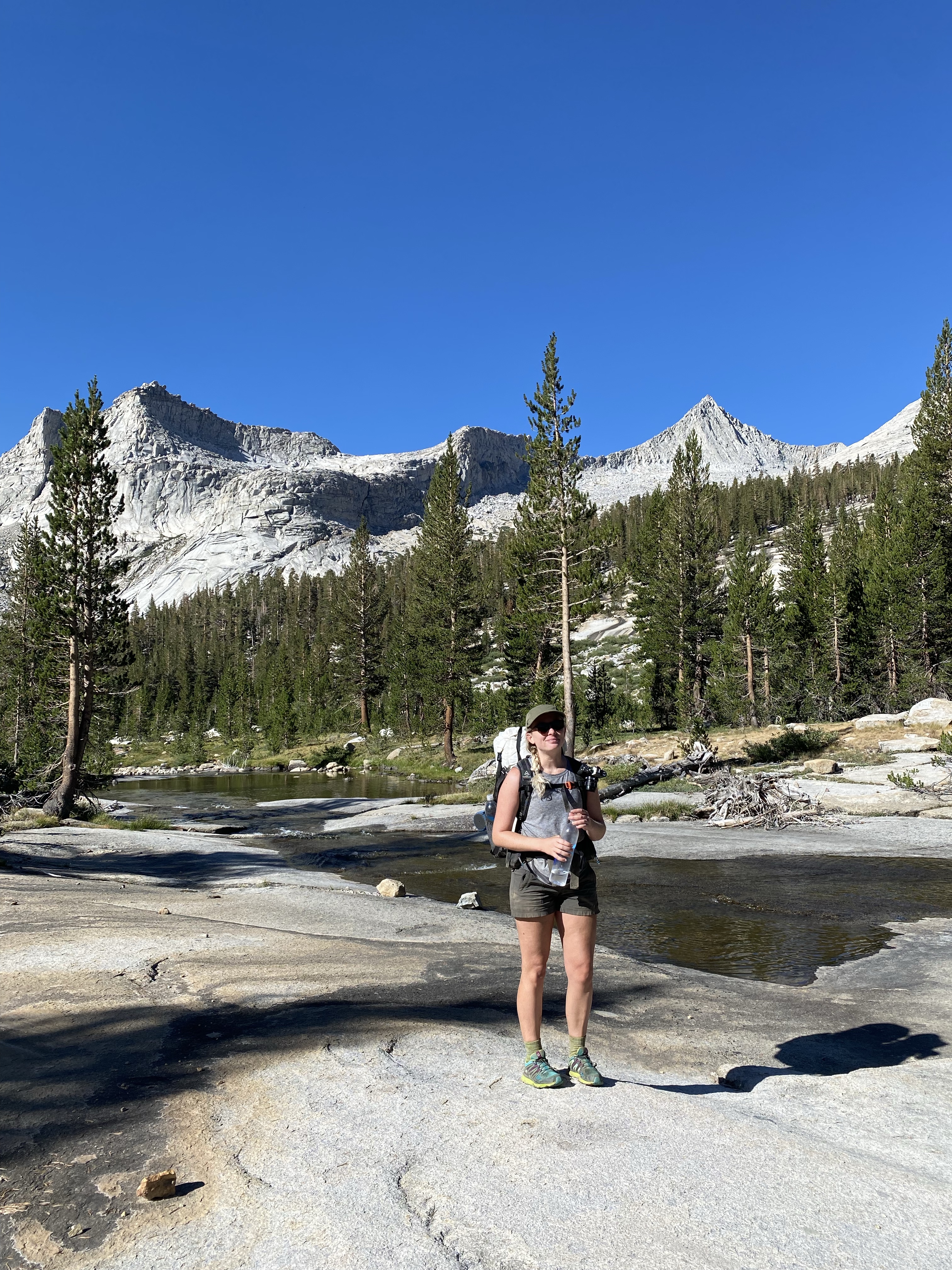
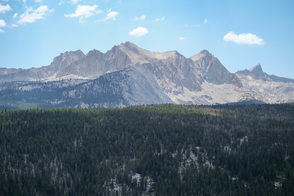
We eventually moved on from Not a Lake and began the slow descent down to Moraine. It was so crazy for me to explore the Western Sierras – they are just as craggy as the east side! We had stunning views of Mineral King all day (also adding that area to the list). Eventually, we got to the creek that the ranger told us to fill up at, and unfortunately, it was bone dry. Sunscreen water it was.
The last 2.2 miles to Moraine Lake were the longest 2.2 miles of all of our lives. We were all so tired and our feet were so tender. Fortunately, the trail was nice and soft, but we were essentially hallucinating that we could all see the lake after every turn – “Do you see that blue right there?!” We indeed could not see blue right there.

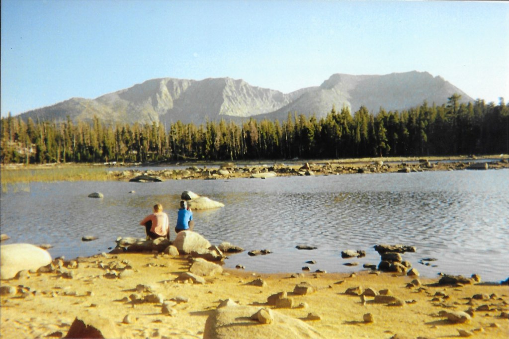
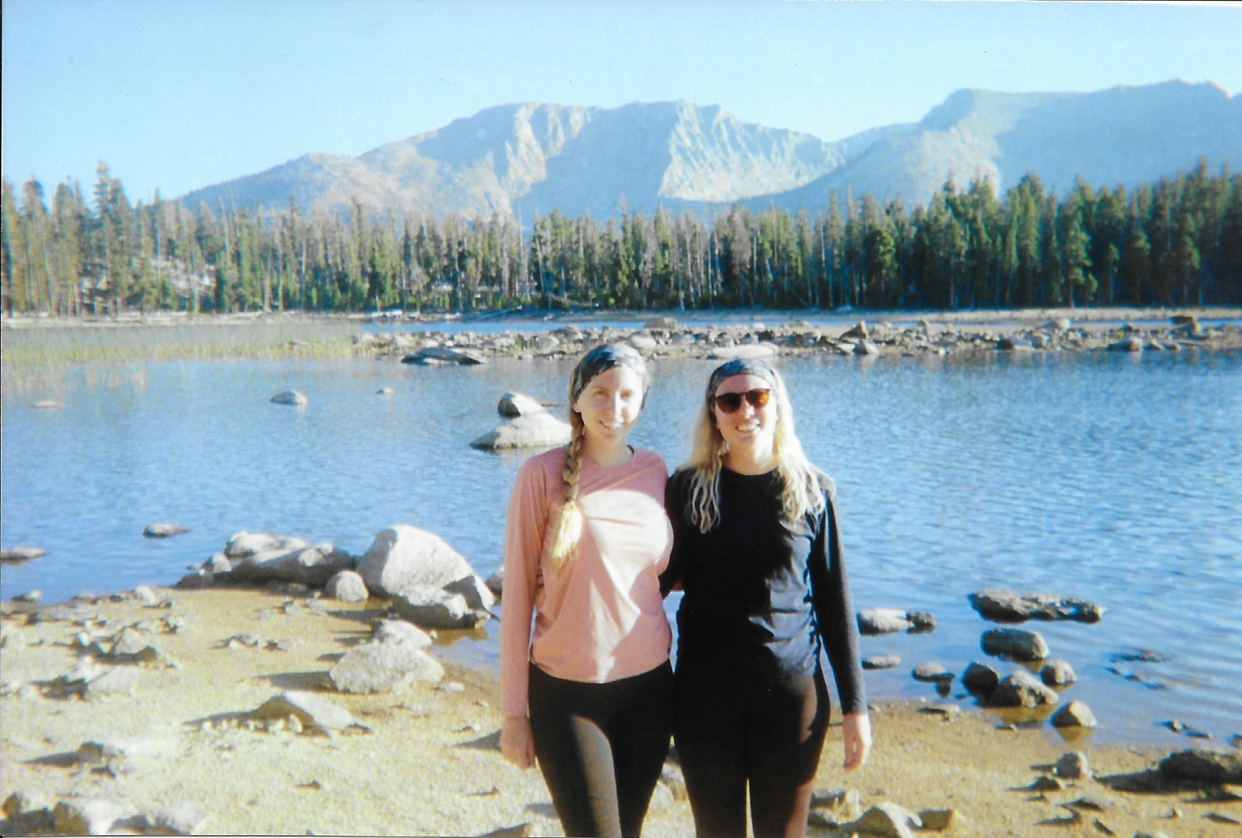
After 2.2 miles turned 222.2 miles, we finally arrived at Moraine Lake to a bunch of other HSTers – we were welcomed with shouts of “Welcome home!” and “Welcome weary travelers!” (I love backpackers). We immediately threw our packs down, and Erin and I couldn’t get into the water fast enough.
The best way that I can describe Moraine Lake is like summer camp. It is a stunning, tree-lined lake with craggy peaks in the distance. The sunset wasn’t necessarily blow-your-socks-off-beautiful, but it was simple and lit up the trees in a way that I could only describe as “summer camp.” The temperature was perfect. It was just an absolutely glorious day in the Sierra.
After a nice swim, Laura and Erin took some mid-afternoon Sierra naps, and we all did some laundry and camp chores. Despite the day being long mile-wise, we got to camp fairly early – around 3pm – so we were able to relax around camp and tend to our sore feet. Before long, we all sat down for dinner, choked down the worst Mountain House meal we’ve had (sorry not sorry, Sweet n’ Sour Pork), and just enjoyed the evening.
Overall, today was just a really great day – and I think it ended up being my favorite of the trip. We covered a ton of mileage and it felt like we were really getting somewhere. We saw SO MANY different parts of the Sierra all in one day – Precipice Lake; the craggy Kaweahs; the grassland and meandering creek in the Gap; the meadows and sparse forest on the descent to Moraine Lake; Mineral King in the distance; Moraine Lake itself. We had beautiful weather, the hiking (whether uphill or downhill) was relatively gradual. I regained some of the confidence that had been utterly decimated on the climb up to Precipice. Moraine Lake was really magical in its own way, and we had been treated to stunning views of the Western Sierra pretty much all day. I felt like we finally hit our stride in our thruhike – the beginning of our hiker’s high. Overall a 10/10 day.
More Posts on the High Sierra Trail:
Day-by-day Journal:
Day 1: Crescent Meadow to Bearpaw Meadow
Day 2: Bearpaw Meadow to Precipice Lake
Day 3: Precipice Lake to Moraine Lake
Day 4: Moraine Lake to Junction Meadow
Day 5: Junction Meadow to Crabtree Ranger Station
Day 6: Crabtree Ranger Station to Guitar Lake
Day 7: Guitar Lake to Whitney Portal
Planning:
Your Quick and Dirty Guide to the High Sierra Trail
My Complete Packing List for the High Sierra Trail
The High Sierra Trail on Film
Getting To and From the High Sierra Trail
Tips and Tricks for the High Sierra Trail

Pingback: The High Sierra Trail on Film – MEG HIKES
Pingback: Day 2 of the High Sierra Trail: Bearpaw Meadow to Precipice Lake – MEG HIKES
Pingback: Day 1 of the High Sierra Trail: Crescent Meadow to Bearpaw Meadow – MEG HIKES
Pingback: Tips and Tricks for the High Sierra Trail – MEG HIKES
Pingback: Getting To and From the High Sierra Trail – MEG HIKES
We find it often takes a couple of days to get into a rhythm when backpacking and it’s so nice when it happens! I’m really enjoying reading about your trip in the Sierras – so similar and yet so different to the BC Coast Mountains.
LikeLike
Thank you so much! Hopefully you can come enjoy the Sierras soon!
LikeLiked by 1 person
The best write up I have seen on the High Sierra Trail. My daughter and I did this in 2016. It was our introduction to longer trails. I have since started the JMT 4x and finished it 3x. The other I had to take a helicopter out. Taking my wife on the HST next month for her first backpacking trip. Hope you are able to finish this at some point. Really very good!
LikeLike
This is the sweetest comment – thank you!! You’ve inspired me to post day 4 and start working on days 5 through 7! I hope you and your wife’s trip either went or goes well this month!! Please keep me updated!
LikeLike
Pingback: Day 4 of the High Sierra Trail: Moraine Lake to Junction Meadow – MEG HIKES
Pingback: Day 5 of the High Sierra Trail: Junction Meadow to Crabtree Meadow – MEG HIKES
Pingback: Day 6 of the High Sierra Trail: Crabtree Meadow to Guitar Lake – MEG HIKES
Pingback: Day 7 of the HST: Guitar Lake – Whitney Portal – MEG HIKES
Pingback: Your Quick and Dirty Guide to Hiking the High Sierra Trail – MEG HIKES
Pingback: My Complete Packing List for the High Sierra Trail – MEG HIKES